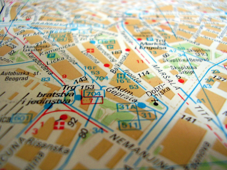
 Living in New York City, it’s easy to take for granted that wherever I want to go, most likely, I would be able to find it on a map. Everything from restaurants, schools, hospitals and government institutions has a mapped longitude and latitude with an address that is public and easy to access.
One of the most fundamental benefits of mapping is the ability to
identify important institutions in a community so residents know where to go to access them. Conversely, mapping a community is also a really good way to shed light on places or populations that are vulnerable or that lack certain resources. This can mean identifying where elderly populations are concentrated during a heat wave or creating an inventory of vacant lots that can be transformed into different uses.
In the past, countries that didn’t have robust planning and land use institutions were often off the map. Areas of interest or importance in a community were only known by locals and unless you were familiar with the area, you might not know where the important places were in a community. Local knowledge remains an important tool for navigating and working within a community but if there is no formal record of what places are of importance in a community or places that need more support, it’s incredibly difficult for communities to advocate for themselves at a governmental level.
Now more and more, mapping doesn’t need to be done with expensive software like GIS. Programs like OpenStreetMap have made it possible to map on a more local level and to also share these places with a wider audience that is capable of advocating for them.
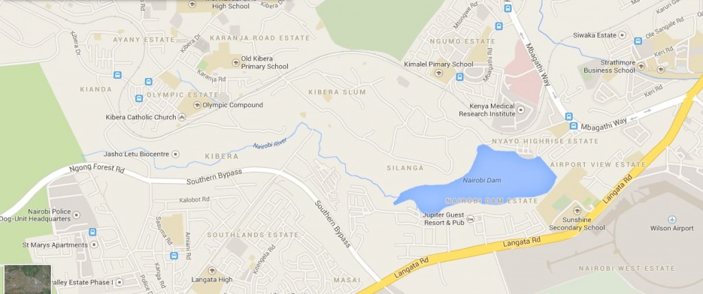
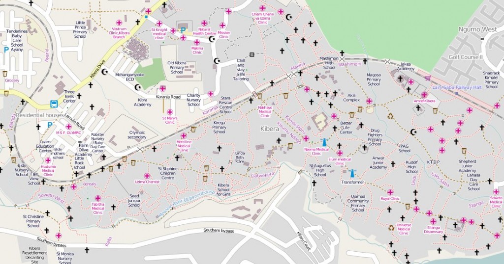
For example, while Kibera (located in Nairobi) is one of the largest informal settlements in the world, the community was mostly invisible to the government and the media. The Map Kibera project has consequently been one of the most visible examples of Interactive Community Mapping (ICM) where local residents are trained to map their own communities thereby drawing attention to areas that were once invisible on both on formal maps and to the government at large.
Since 2009, the Map Kibera project has trained community members on how to use GPS units to identify points of importance in the community, drastically changing what the image of Kibera is to the government and to outside world – from marginalized slum to a recognized community. They now exist in a more formal way making Kibera a lot harder to ignore. One of the most powerful things about community mapping is that the nature of mapping a community means that only local residents can really engage in the mapping because they are most familiar community. It makes it possible to better plan for the future of the community because the larger picture of who and what makes up the community is clearer.
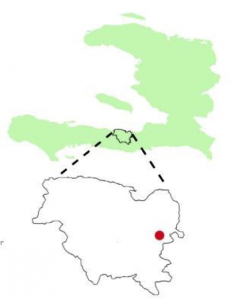
Similarly, working in Haiti for the past few years has helped me realize how important mapping is. Up until recently, I had a really hard time explaining to people where it was exactly that I worked in the country, mostly
because I was only really familiar with what was mapped on the administrative level. Once it got down to the neighborhood scale, my geographic understanding of community was really unclear.
A lot of the names of the different communities were only known by residents because the different neighborhoods were often named in memory of someone who lived in area and had passed away. There was no formal record of place, just oral history.
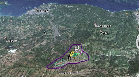
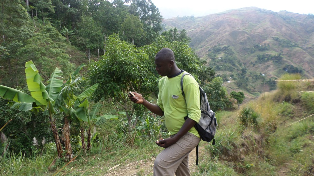
Over the past few months, we have been working with a local agricultural and community development group cataloging the different community names, the density of the communities and whether the areas were vulnerable due to hurricanes or flooding. We then began using GPS units to map all the communities to get a better sense of the boundaries.
What started to emerge was a more complete picture of the different localities that existed, all with their various characteristics and demographics that was far more complex than a little red dot.
Community mapping has made it easier to have conversations about planning, whether it be about identifying the best location to put a school or figuring out where is the safest place to go in the event of a hurricane. Mapping is an important tool for communities to identify and protect places that are meaningful to them. By going through the process of mapping, communities are better able to advocate for forgotten groups and spaces, well beyond the limits of their own county, extending to the use of open source tools and the Internet. It also makes it harder to ignore a community when you can see them on the map.


About The Author: Daphne Lundi
More posts by Daphne Lundi